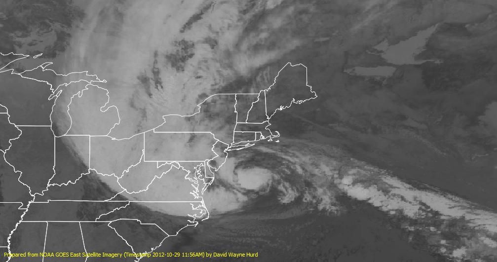
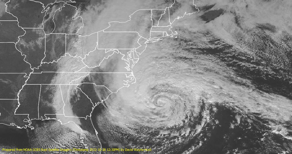
Storm Satellite Imagery Used in These GIS Maps
The satellite imagery used in these maps is from NOAA, located via its National Weather Service Data in Geo-referenced Image or OGC Web Service Format. The graphic files themselves is located from their Spatial Data Products for Geographical Information Systems webpage. Specific to this storm, use ftp://satepsanone.nesdis.noaa.gov/GIS/
Useful links:


